City Map Poster
A street map poster of any place, drawn from OpenStreetMap
What it does
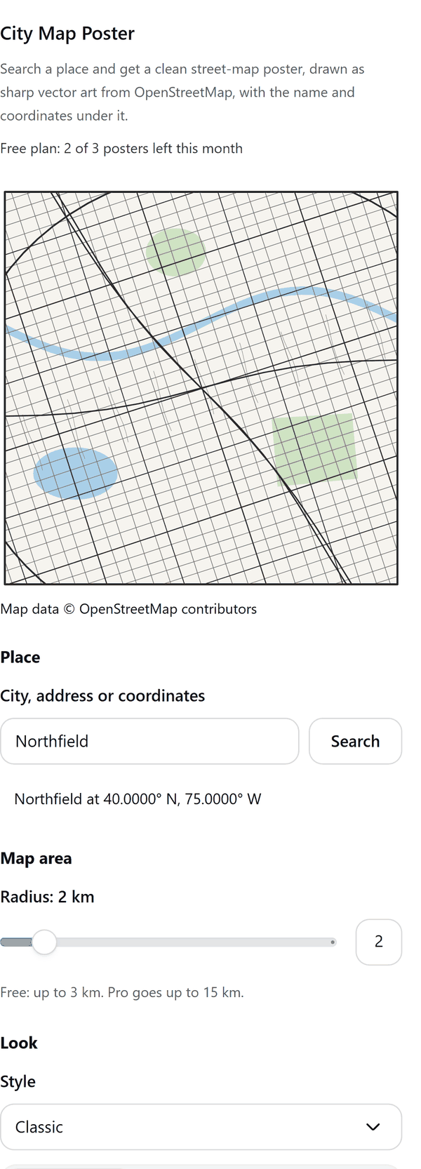
- Looks up a city, an address or coordinates and draws the streets, water and parks around it as one sharp vector picture
- Lets you choose the map radius, a style and a frame, and shows a preview of the poster before you add it
- Adds the poster as a new page: the map is one picture and the title, subtitle and coordinates under it are editable text
- Prints the credit Map data © OpenStreetMap contributors on every poster
- Simplifies very dense areas to keep the file small, and tells you when it did
- Pro: all 15 styles, circle and heart frames, larger areas, water and park switches, custom colours, a marker pin and larger poster sizes
How to use it
- Open a design and open City Map Poster from the Apps tab.
- Under Place type a city, an address or coordinates and press Search.
- Choose the Map area radius and the Look, then press Draw map.
- Under Text type a title and subtitle, choose the Page size and press Add poster to design. A new page is added.
Free and Pro
Plan limits reset each calendar month (UTC). Pro is billed through Polar.
| Free | Pro | |
|---|---|---|
| Posters a month | 3 | Unlimited |
| Styles | Classic | 15 styles |
| Frame | Square | Square, circle and heart |
| Map radius | Up to 3 km | Up to 15 km |
| Water and park switches | No | Yes |
| Custom colours and marker pin | No | Yes |
| Poster sizes | 8 x 10 in, 11 x 14 in, A4 | Also 16 x 20 in, A3, 18 x 24 in, A2 |
| Title, subtitle and coordinates | Yes | Yes |
| Price | $0 | $5 per month or $35 per year |
Credits
Map data © OpenStreetMap contributors, available under the Open Database Licence (ODbL). See openstreetmap.org/copyright.
Manage your Pro licence
You get a licence key by email after you buy Pro. Paste it into the app and press Activate licence. To use the key on another Canva account, press Deactivate this licence first. To restore Pro after a reinstall or on a new device, activate the same key again. To cancel, use the link in your Polar receipt email. Full steps: buying, restoring and managing Pro.
FAQ
Where does the map data come from?
Map data © OpenStreetMap contributors. It is available under the Open Database Licence (ODbL); see openstreetmap.org/copyright. The credit is printed on every poster.
Which services does the app contact?
Places are found with Nominatim and streets, water and parks come from the Overpass API, both run by the OpenStreetMap community. Your browser asks for one search at a time and one small area per poster, as their usage policies require.
Why does a search sometimes fail?
The OpenStreetMap servers can be slow or busy. The panel says so and you can try again in a moment, or choose a smaller radius for a very detailed area.
Can I change the text on the poster?
Yes. The title, subtitle and coordinates are text in your design. The map is a picture.
Can I remove the map credit?
No. The credit is printed on every poster, and OpenStreetMap data must be credited.
Does my design leave my computer?
Only the place you search for and the map area you ask for are sent to OpenStreetMap. The poster is made in your browser. Our server only counts your monthly posters.
How do I get help?
Email [email protected] with the app name and a short description of what happened. Do not send your full licence key.
What data does this app keep?
See the Privacy Policy. In short: designs and images stay in your browser; our server keeps your Canva user and brand ids, monthly usage counts and your licence status.